Over the summer, posts from our 2017 trip to Warsaw appeared, as they do every year, in the timeline feature to the right. I read about looking for baked goods that first morning, and I remembered how very communist-era Świętokrzyska Street looked then, and I wondered if pictures of it were on Google Maps.
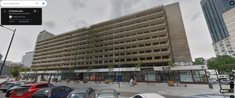
I felt like I was walking down the street in a scene from Miś. Those shop windows looked exactly like they did in the early eighties.
Two years later, it was all gone.
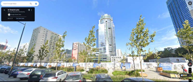
Two more years after that, an entirely new and modern building had taken its place.
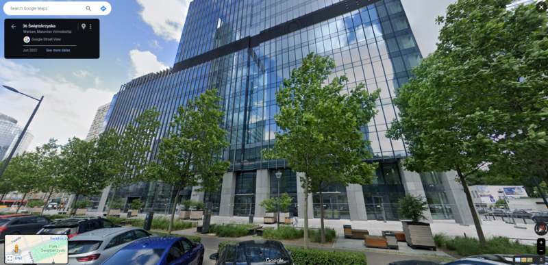
More of the old Warsaw fades away.
Continuing down Świętokrzyska Street, one reaches ONZ Rondo. In the distance, building after building appears year after year.
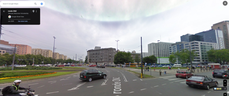
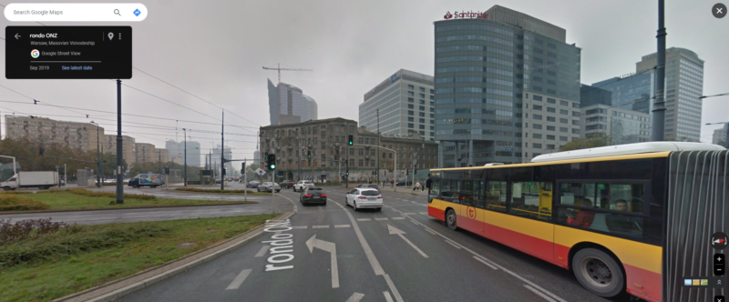
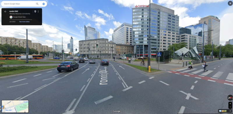
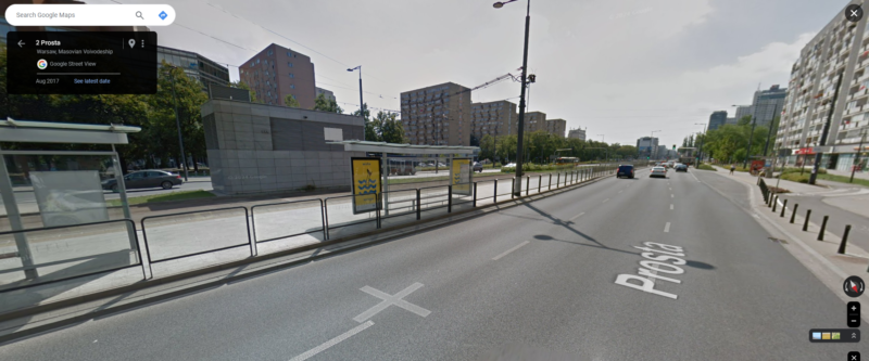
Finally, there’s Prosta Street (“Straight Street”). Looking off in the distance, one could see only the ubiquitous Easter European apartment blocks.
Just a few years later, a typical Western city has sprung up in the distance.
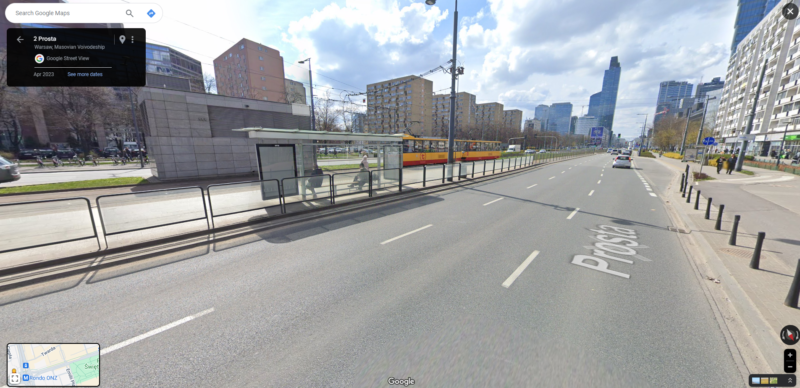
The Warsaw I knew in the mid-90s is all but gone. Then I remember: that was thirty years ago. Of course it’s all disappearing.
I dont really think it is gone. You walk from Jerozolimskie down Krucza — same old apartment buildings. Or down Marszalkowka toward Plac Zbawiciela and then continue up to Plac UnJi Lubelskiej — very little change. The high rise stuff is very concentrated — from Palac Kultury heading north. Much of what you see heading south is as it was when i was a little girl growing up there and that was MORE than 30 years ago! :)
I took a walk down the street in Google Maps — I see what you mean. I popped over to Praga, and it’s much the same.
I guess since we restricted ourselves primarily to that more central and northern part of Warsaw, that’s where I got that impression.
I also did a 3D ariel view of that block of ?wi?tokrzyska around Rondo ONZ and saw a picture of all that in the process of being demolished: